Proposals
Our vision for Ermine Fields
In Stamford, rising housing costs are making it difficult for local families, young people, and older residents to find places to live. In line with the National Planning Policy Framework, South Kesteven District now has a higher target for new homes.
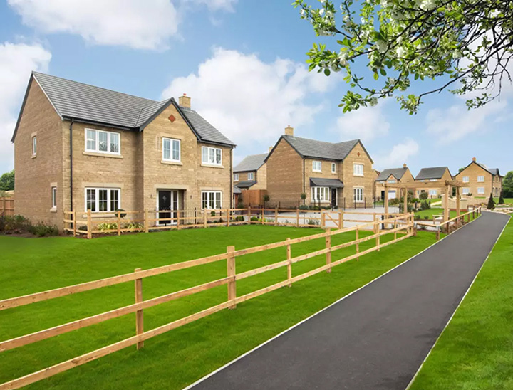
We have proposed a development of up to 250 new homes in Stamford to help meet this demand. The plans include a variety of housing options for first-time buyers, growing families, and those looking to downsize, including affordable homes.
Our vision goes beyond housing to focus on the environment and community. The development will feature a community square for play and social interaction, along with new green spaces, wildlife habitats, and a public parkland. Additionally, we will secure investment for local services, such as schools, healthcare, and transport, where this is required to support the development. We will do this through a Section 106 agreement, benefiting both new and current residents.
Key features
New homes with plenty of open green space
- Up to 250 new homes.
- Options for first-time buyers, young families and older residents looking to downsize.
- 30% of the homes will be designated affordable housing.
- New community square.
- New and improved green spaces.
- A net gain in biodiversity.
- Retention of public rights of way within the site.

The site
Site location and concept plan
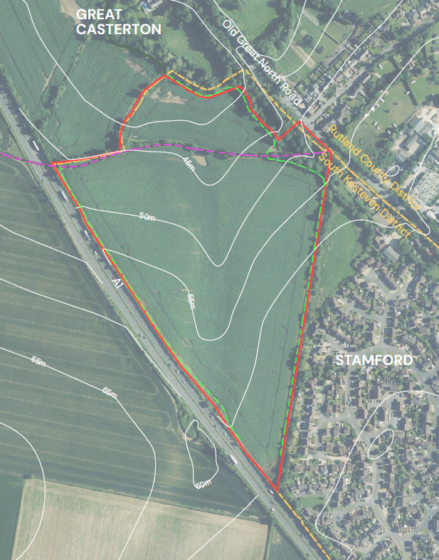
The site is located to the west of Old Great North Road, to the north-west of Stamford. The majority of the site sits within South Kesteven District, with just the access point sitting within Rutland’s District Council boundary. Our proposals for Ermine Fields are designed to respond sensitively to the surrounding landscape and built environment, respecting the character of nearby communities including those in neighbouring Rutland and contributing positively to the area.
We are committed to delivering a well-considered development that not only provides much-needed homes but also enhances the local environment, reinforce local identity and achieves a net gain in biodiversity.
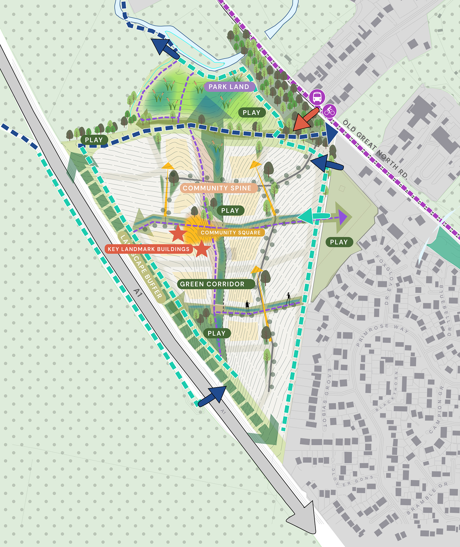
 River Gwash
 Existing vegetation
 Proposed parkland
 Landscape buffer edge
 Green pocket
 Green corridor
 Indicative location of SuDS
 Street trees
 Incidental views to church steeple
 Formal & informal play
 Key landmark building
 Community spine
 Community square
 Main site access
 Existing pedestrian access
 Proposed pedestrian link to existing play area
 Existing PRoW
 Existing Permissive Way
 Proposed pedestrian route
 Proposed cycle crossing
 Bus stop
 LCWIP Stamford – Casterton route
Community spaces
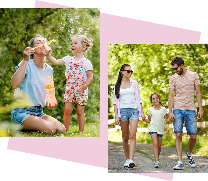
A peaceful setting for residents, a safer place for children
The proposals outline a new community square to create a welcoming space for local activities, events and services. It will be located in the heart of the development and will support new and existing residents, helping to build a strong and connected neighbourhood.
The plans also include a well-overlooked play area, offering a safe and enjoyable space for children to play and families to spend time outdoors. Its location within the development means it will be easy to access and naturally supervised.
Public parkland
Where wildlife meets wellbeing
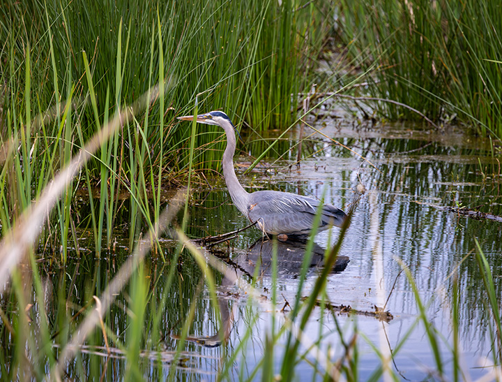
As part of the proposals, we’re including a separate area of public parkland designed for walking, relaxing and spending time outdoors. This green space will feature wetland and meadow areas that support local wildlife and offer a peaceful setting for residents. By retaining and creating habitats and planting for the long term, we aim to enhance biodiversity and make space for both people and wildlife to thrive.
Importantly, the site has been purposefully designed to enhance connectivity with Stamford and the surrounding area. By creating streets and pathways that naturally link to the existing park and play area to the south, the development will foster stronger ties with the town and promote a sense of community and wellbeing.
Planning policy
The local plan
Planning applications are determined in accordance with the local plan, national planning policy and other relevant considerations. The main purpose of a local plan is to set out the amount and location of new housing and other forms of development over a specific period, in South Kesteven’s case to 2036. South Kesteven District Council is currently in the process of reviewing its local plan, which will make decisions about the location and amount of new development to 2041. However, the new local plan is not expected to be adopted until November 2027 at the earliest.
Planning policy rationale for the proposals
The need for housing in a sustainable location
The adopted local plan recognises Stamford’s role as a Market Town and one of the largest and most settlements in the District given its availability of services, facilities and infrastructure, For that reason, the adopted local plan attributes residential growth to Stamford, including to Stamford North.
Since the local plan was adopted in 2020, housing need within South Kesteven has increased and the delivery of new homes on sites like Stamford North have been delayed. National planning policy requires that the Council identify a sufficient pipeline of deliverable housing sites over a five-year rolling period, and South Kesteven District Council can no longer demonstrate this. As such, suitably located housing sites are required to come forward to meet this shortfall.
The Proposed Development will address South Kesteven’s urgent need for market and affordable housing in a sustainable location where residents will be able to readily access services, facilities and infrastructure.
The appropriateness of the Site for development was previously considered by the Council in the Stamford Capacity and Limits to Growth Study (2015), which stated that:
“For land east of the A1, the triangular field east of Primrose Way appears suitable for development, scoring well on the criteria of transport, landscape, heritage and spatial opportunities/constraints.”
As such, there is a long-standing recognition that the Site is a suitable location for residential development.

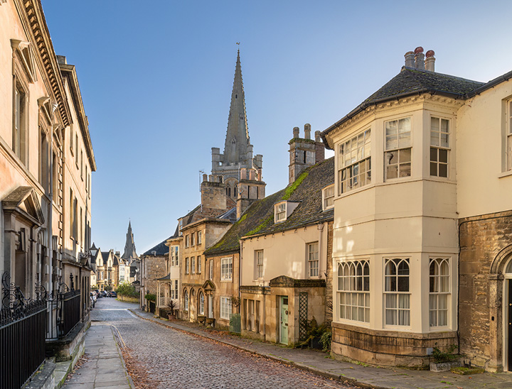
Respecting Stamford’s character
Design principles and heritage protection
In addition to the South Kesteven Local Plan, Stamford Town Council has also adopted a Neighbourhood Plan which provides more detailed policies and focuses on conserving the historic environment and ensuring new development is designed to a high standard. Whilst the planning application will be submitted in outline form with matters such as the appearance, layout, scale and landscape treatment of the proposed dwellings reserved for later consideration, it will be accompanied by a suite of drawings and documents which set out robust design principles for future detailed applications to follow.
In addition, a heritage statement will be submitted with the application consider the impacts of the proposed development upon the setting of heritage assets in the vicinity, but the need to protect the historic environment has been integral to the design of the scheme by, for example, retaining a generous separation to the northern boundary of the Site which will be used for new parkland.
Timeline
How will the project move forward?
We are in the early stages of bringing forward our plans and are working with South Kesteven District Council and Rutland County Council to deliver the following timeline of activities over the coming months and years.
Autumn 2025
Consultation with the community commences.
Winter 2025
Anticipated submission of a Planning Application to South Kesteven District Council and Rutland County Council.
Spring/Summer 2026
Anticipated determination of the Planning Application by South Kesteven District Council and Rutland County Council.
2028
Anticipated commencement of construction on the site, subject to planning approval.